After completing my goal of climbing Mt. Ryumongadake last time, I could not think of what to try next.
What should the next challenge be?
Should I try something besides hiking?
Talking with people around me about it, an American friend and coworker of mine said “I know a good trekking route.”
His nickname is “woodsman” (self-proclaimed).
He has explored most of the mountains around the town of Yoshino and knows about a lot of lesser known routes. What a powerful ally to have on my quest!
However, I have only just started to become a mountain girl and therefore can’t walk very harsh routes (I have the humility to not put too much trust in my ability.)
Considering such conditions, the “Woodsman” (henceforth known as “Mr. N”) suggested a route that goes from “Oku-senbon” in Mt. Yoshino to “Seirei-no-taki Waterfall” in Kawakami-mura Village. He said that the route is mostly downhill, with a lot of good mountain scenery and interesting features to enjoy. How exciting!
Thinking we should strike while the iron is hot, we decided on a date for the hike.
The day on which we walked was autumn weather at its best. We started off feeling good and stepping lightly.
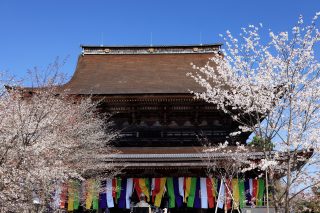
First, we prayed for the safety of the trip at the Kinpusen Shrine, located near the entrance to the Oku-senbon area in Mt. Yoshino.
The first section was quite steep, but it did not last long.
When we emerged out of the dense forest to the old site of Hoto-in Temple, we were greeted with a wide expanse of open space before us.
In the past, Oku-senbon was an area bursting with cherry trees. However, during the Meiji period, the cherry trees were cut down and used for fuel and in their place were planted cedar and cypress, which command high prices in the lumber market.
Over the last 15 years, volunteers have been gradually planting seedlings to restore the old cherry blossom forest. The scenery seems a little bleak at the moment as the cherry trees are still thin and small, but I am excited to imagine the day when they grow large and bloom in full.
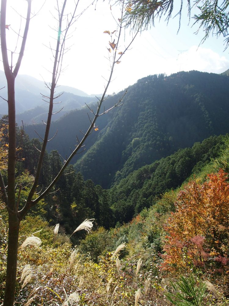
It was the time to go climb up to the peak of Mt. Aonegamine, the highest point in the area of Mt. Yoshino.
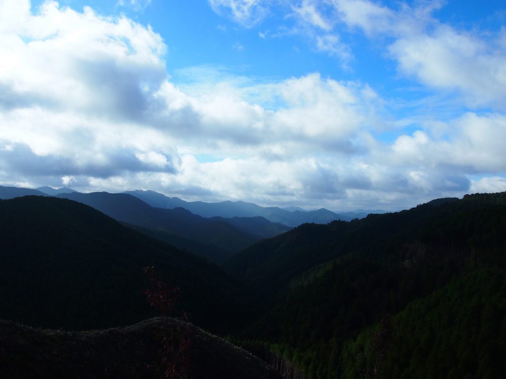
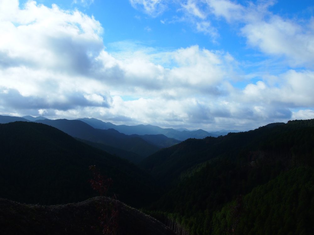
On the way, we got a wide view of the landscape below, giving me the sense that I was very high up in the mountains.
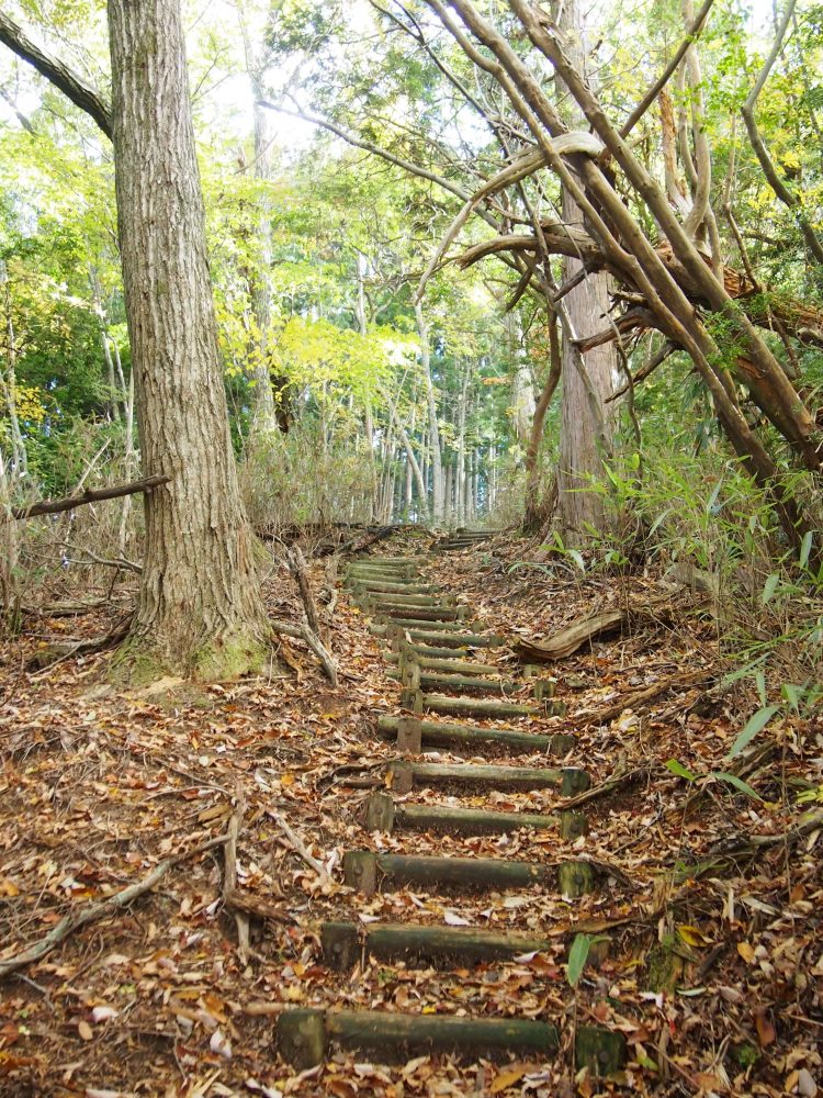
The summit of Aonegamine can be reached by walking up a steep path of wooden steps which branches off from the main path through the promenade. As it is not part of the standard route, it is up to you to decide if it is worth the 10-minute detour it takes to get to the top.
If it had been the past me, I think I would have wanted to do my best to avoid any extra climbing. But now I’m different than I used to be and if there is a path, I want to walk it!
So of course I climbed to the summit!
At the summit there was no view, no shrine, or anything particularly special. However, reaching the summit made me feel a sense of accomplishment, and although it was a 10-minute extra walk, I felt good.
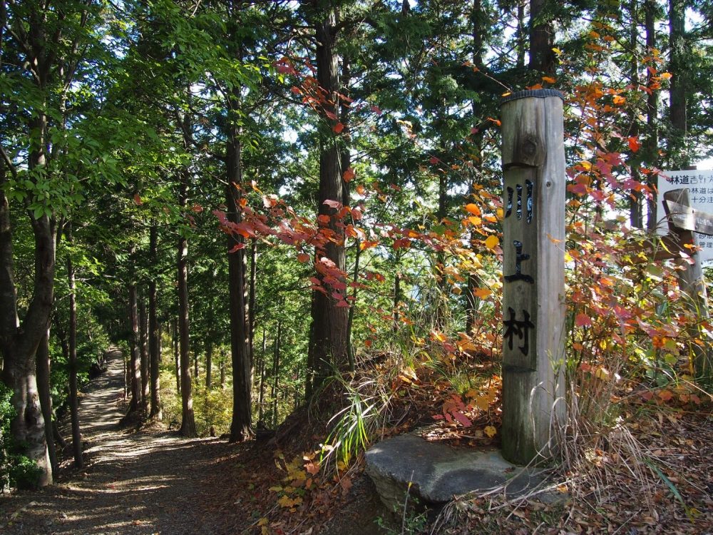
From there, we went to the trailhead entrance that had a sign posted for “Kawakami Village” next to it.
As we walked down the mountain path through a coniferous forest of cedar and cypress, we came upon a big fallen tree which was blocking the path. I worried about how to go about getting around it but I managed just fine and continued onward.
Mr. N pointed out that someone had hung strange stuffed animals on the branches of various foliage alongside the path. Seeing them, I didn’t really know if they were some kind of trail markers or an offering to someone, but I thought that if I followed them like the bread crumbs in Hansel and Gretel, I would never get lost.
Passing through the dense coniferous forest, we came upon an open view of a valley full of all sorts of different kinds of trees. The differences in scenery made it for an interesting hike.
On past excursions, I spent a lot of time in the dense forest once I entered the mountains. But this time, I had a sense that I could feel the mountains as I walked along the path.
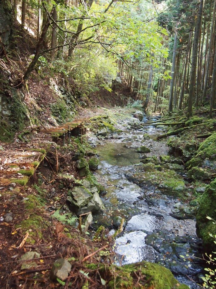
On the way, we crossed several small wooden bridges that were old and covered in moss, which made me nervous. Getting closer to the bottom of the valley along the path, small streams emerged out of the surrounding mountains. It was fun to see these small waterways merge and gradually grow into a river as we made progress. On the opposite side of the stream, there was bright green carpet of moss spreading across the mountain and creating a mysterious sight. It was a beautiful sight that seemed to resemble something you would see in the movie “Avatar” and it released me from the stress of everyday life.
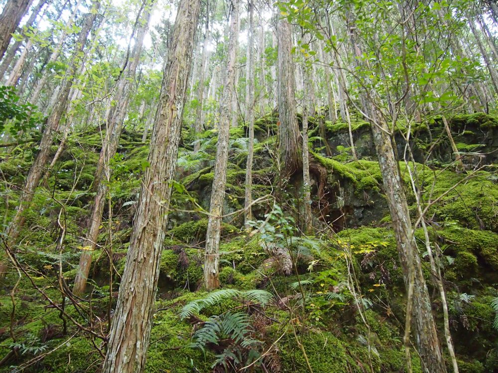
After leaving the trail path, we walked along an asphalt road for a little while.
The path had been quite rugged in some sections, consisting of a lot of steep downhill walking which was hard on the feet and legs. The asphalt road was a welcome relief.
への道標-1000x750.jpg)
This part of the path was a straight shot to Seirei-no-taki Waterfall.
Descending from the trail above, you can get nice views of the waterfall from both the top and the bottom sections.
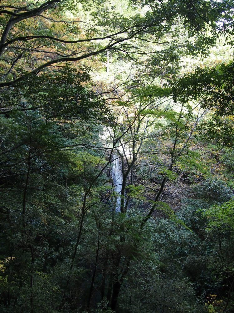
At approximately 50 meters high, it possesses a special beauty made from the accumulated waters of countless springs in the mountains above, making for a majestic view which was great for the end of the trip.
This time, the entire route was downhill, but if I were asked “was it easy?”, I would answer “No.” My legs seemed to be tired, and on the next day, I had muscle pain as a result of the journey.
According to Mr. N, there is another route to the waterfall that follows the ridge (the highest part of the mountain). It is a bit harder but also would be fun to see new scenery. Maybe I’ll try it next.
It seems that my graduation from the “school of the mountain girl” still lies ahead.

